Tag Archives: Maps
German Settlement of Southwest Virginia

The German Middle Settlement—spanning present-day Pulaski, Giles, and Montgomery Counties—has a rich, well-documented history. This page gathers books and resources that highlight the families, traditions, and stories that shaped the community and its lasting impact on Southwest Virginia.
Gathering Blacksburg Maps

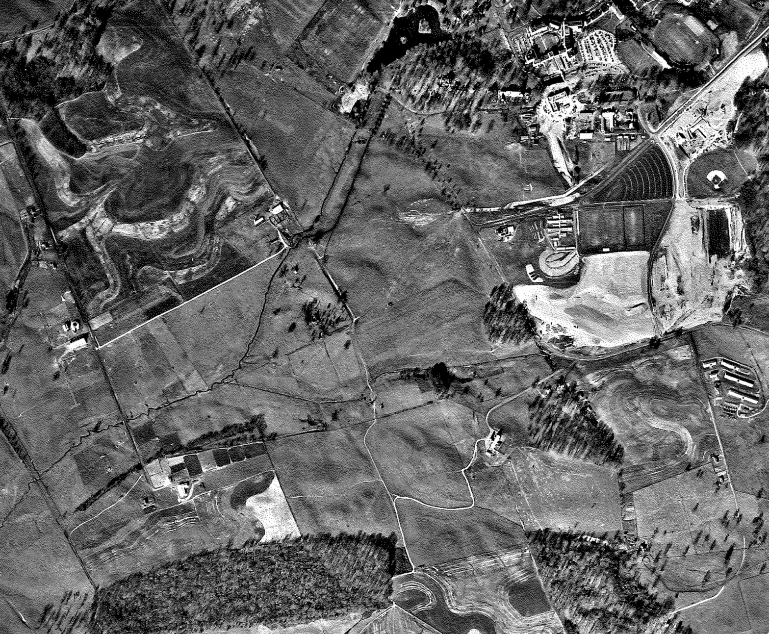
Maps are essential tools for historical research in Central Appalachia as they provide a multidimensional perspective on the region’s past, integrating geographical, political, economic, social, and environmental factors into a comprehensive historical narrative. Maps are organized on this page.
