
Several historic maps of Big Lick—renamed Roanoke, 3 Feb 1882 —were shared in the private Facebook group Memories of Roanoke on August 11, 2025.
Why feature maps of Roanoke when our focus is Montgomery County? Because the two counties share a border, and the train made for a quick trip between Christiansburg and Roanoke (though reaching Blacksburg by train took considerably longer). As Roanoke grew, it offered Montgomery County residents access to medical care, mercantile goods, building supplies, and job opportunities.

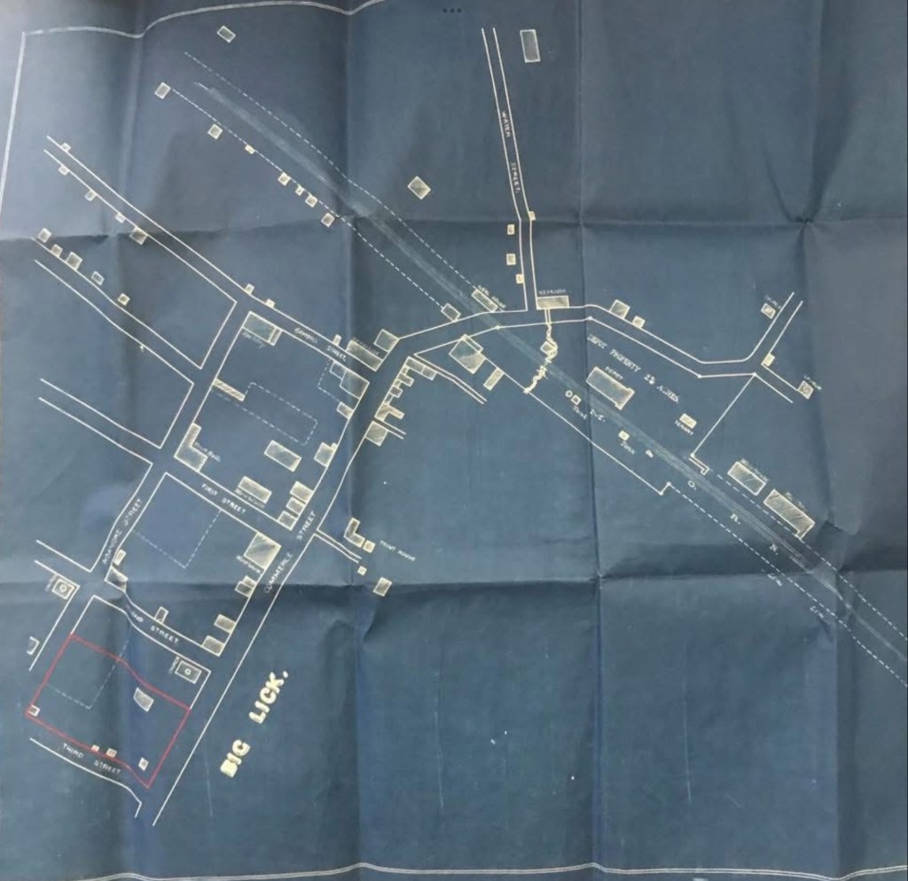

The Sanborn Fire Insurance Maps offer a wealth of detailed information and are preserved in the Library of Congress collection. This image of the 1886 map (4 years after the town was incorporated and renamed) shows one example from the set of five.

